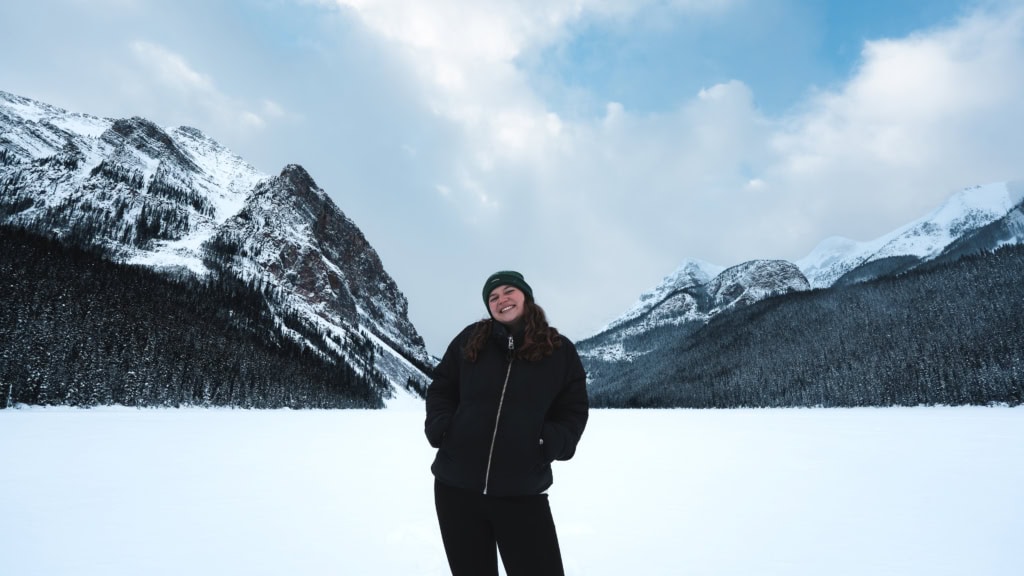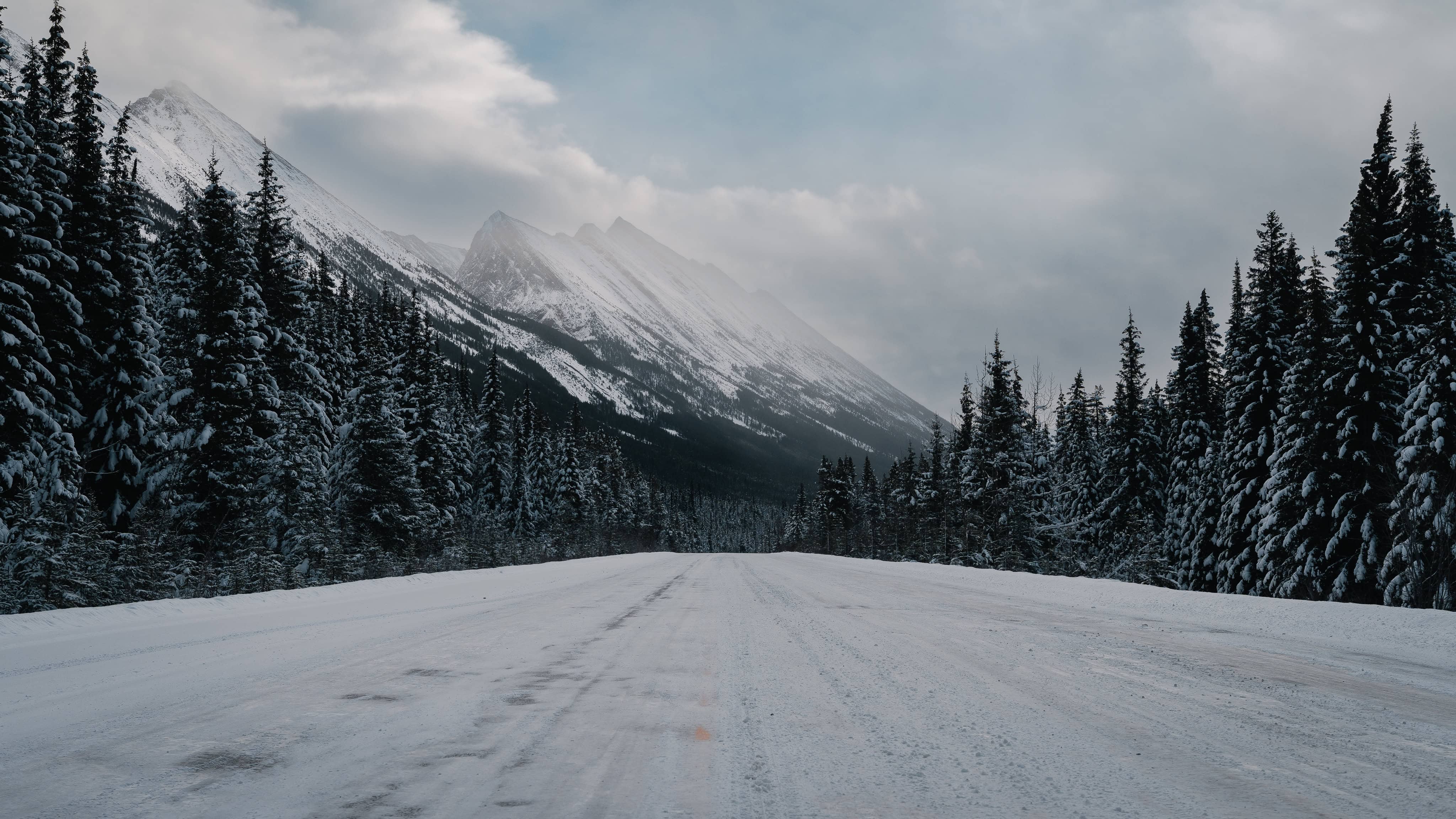
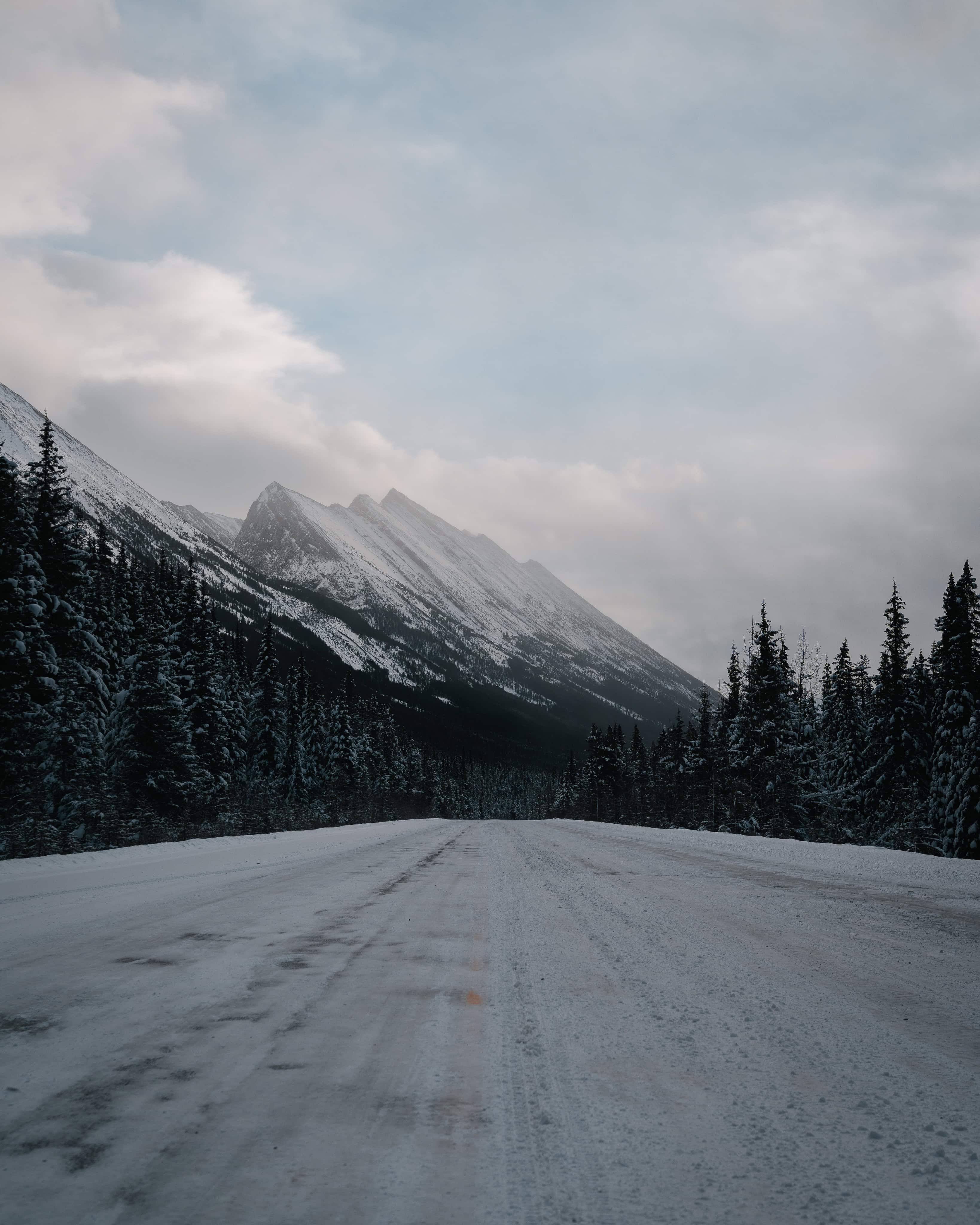
The Icefields Parkway is one of the most spectacular roads in the world, and a highlight of any road trip through western Canada. This approximately 230-kilometre route forms part of Alberta Highway 93, stretching from Lake Louise in Banff National Park to Jasper in Jasper National Park, both located in the Canadian province of Alberta. Following the Continental Divide through the Rocky Mountains, it passes through some of North America’s most impressive landscapes, including turquoise glacial lakes, gigantic ice fields, thundering waterfalls and rugged mountain peaks.
Location and natural significance
The Icefields Parkway runs through two of Canada’s most famous national parks: Banff National Park in the south and Jasper National Park in the north. Connecting the village of Lake Louise with the charming town of Jasper, it winds along the Great Divide, the continental divide of North America. During this fascinating journey, the parkway crosses some of the highest road-accessible points in the region, such as Bow Pass (approx. 2,067 m) and Sunwapta Pass (approx. 2,035 m).
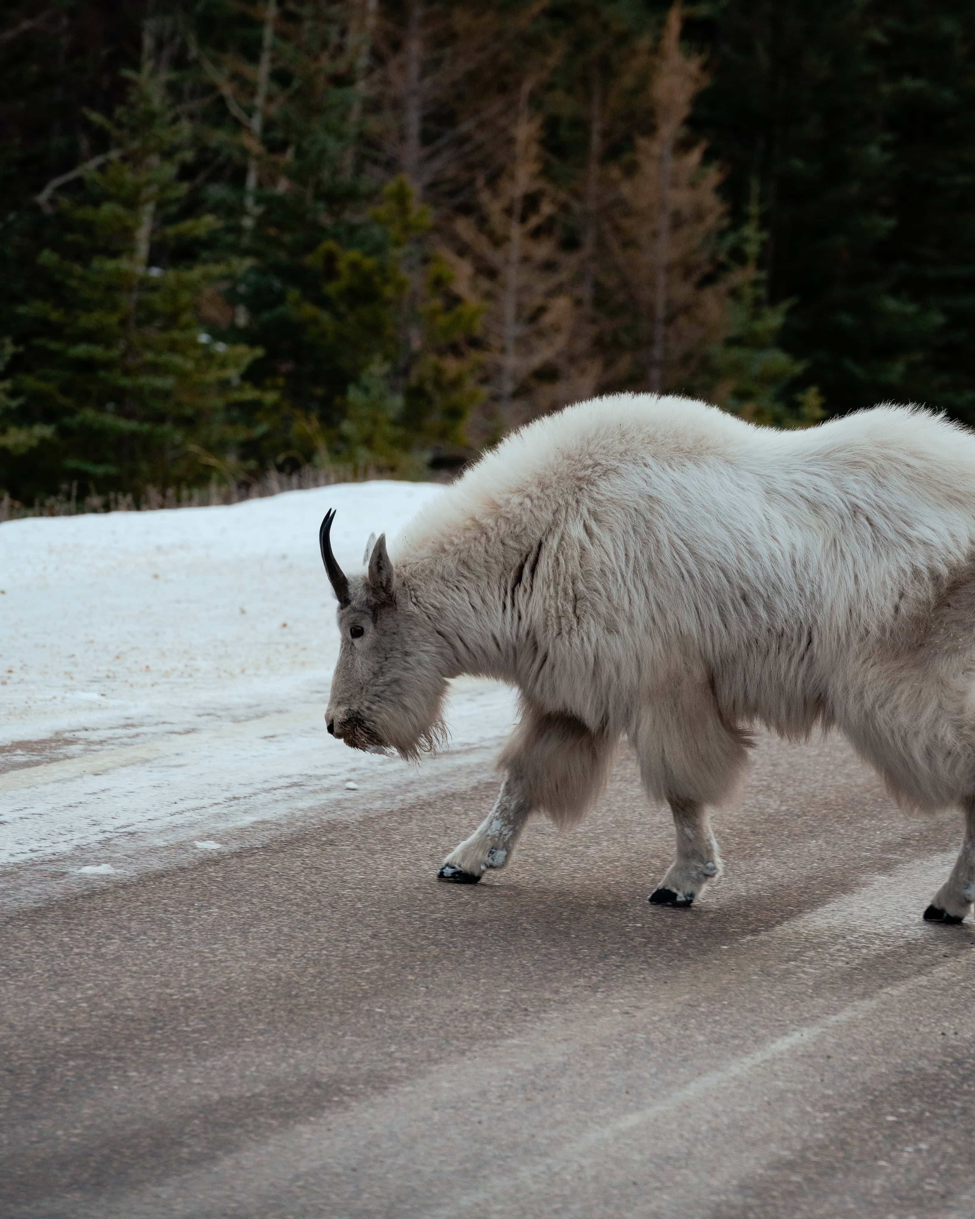
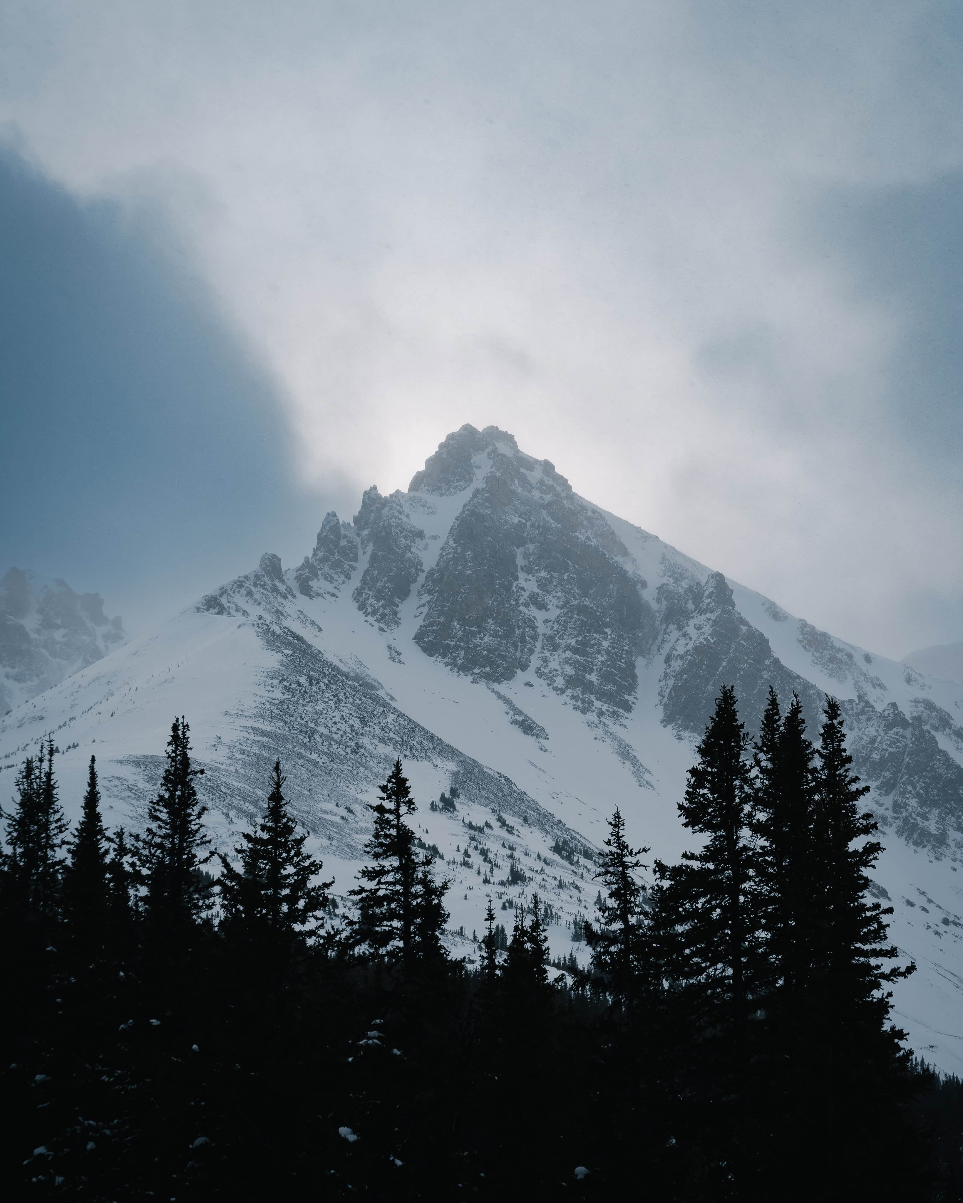
Passing through an incredibly diverse landscape of high alpine valleys, deep gorges, massive ice fields, millennia-old glaciers and crystal-clear lakes, the road is home to an abundance of wildlife, including marmots, mountain goats, grizzly bears and black bears.
History of the Icefields Parkway
Its history began long before today’s road was constructed. Indigenous peoples used ancient trails through the mountains for hunting and trading long before European explorers and fur traders settled in the region. Following the completion of the Canadian Pacific Railway in 1885, interest in the Rocky Mountains increased dramatically, prompting the first explorations along the future parkway route.
During the Great Depression, the Canadian government began upgrading the so-called ‘Wonder Trail’ to a proper road in 1931. This was a huge undertaking: over 600 men worked under harsh conditions and with minimal use of machinery for almost ten years – only one tractor was permitted per team. The road was officially opened in 1940, but was not fully paved and modernised until 1961.
Since then, the Icefields Parkway has become one of the world’s most popular scenic routes: over 1.2 million people travel along it every year, particularly in summer.
Highlights and sights along the route
Bow Lake
One of the first impressive lakes on the route is Bow Lake, a large glacial lake fed by the Bow Glacier in the foothills. The backdrop of water and mountains is perfect for photos, and it is well worth taking a short walk along the shore.
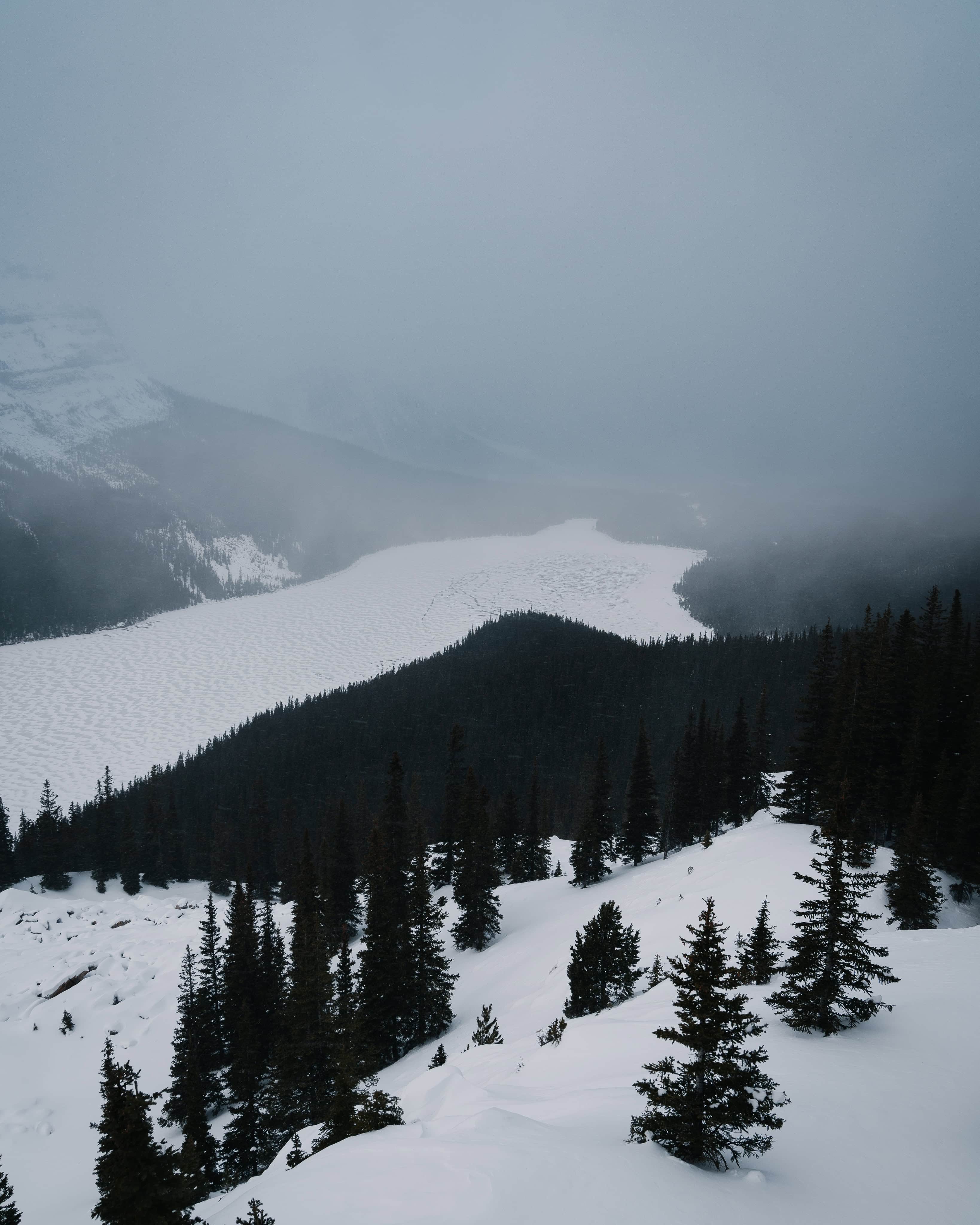
Peyto Lake and Bow Summit
Just a few minutes further north lies Peyto Lake, one of the most famous lakes in the Canadian Rockies. Its intense turquoise colour is due to fine rock particles in the glacial meltwater. The viewing platform at Bow Summit offers one of the most spectacular panoramic views along the entire route.
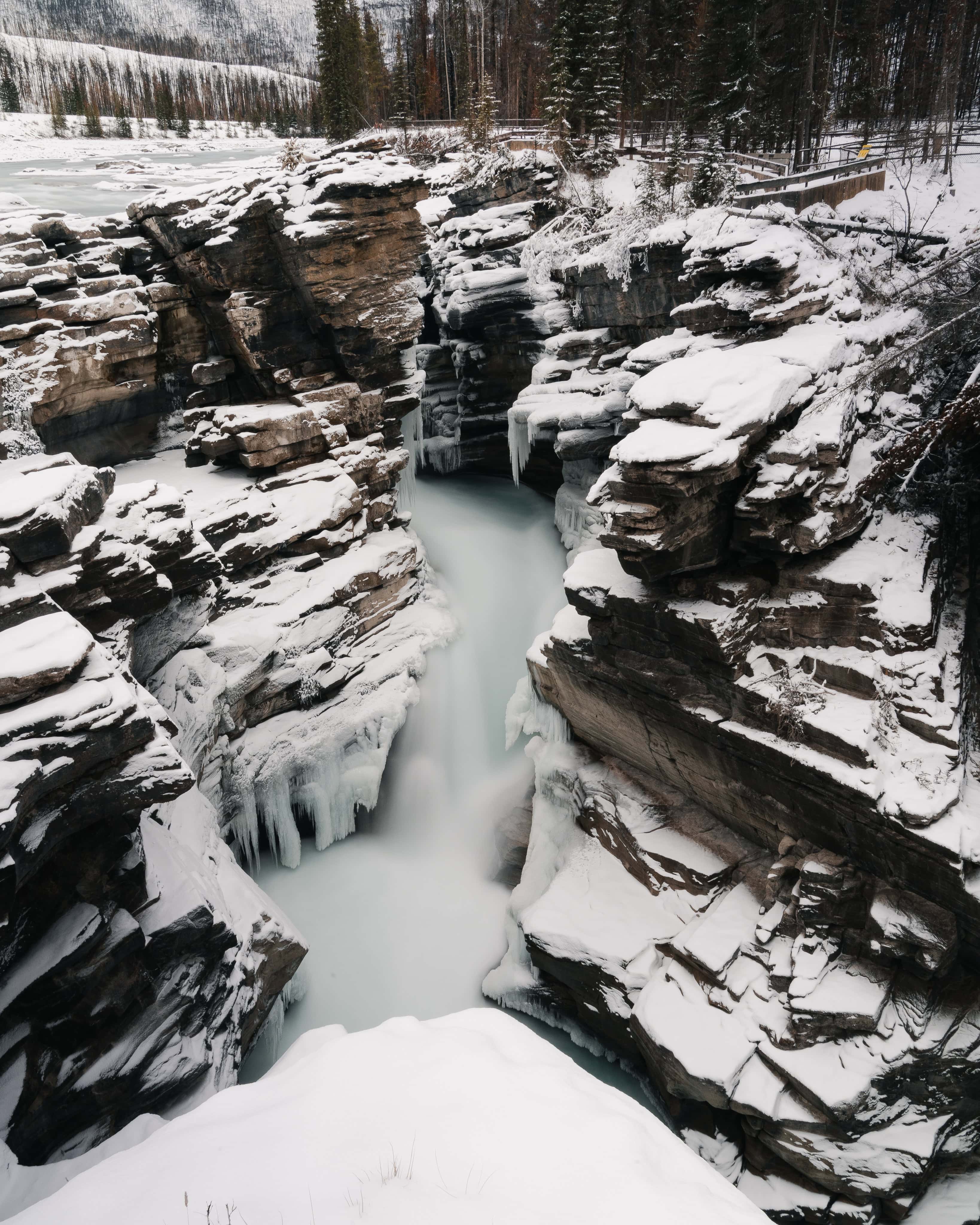
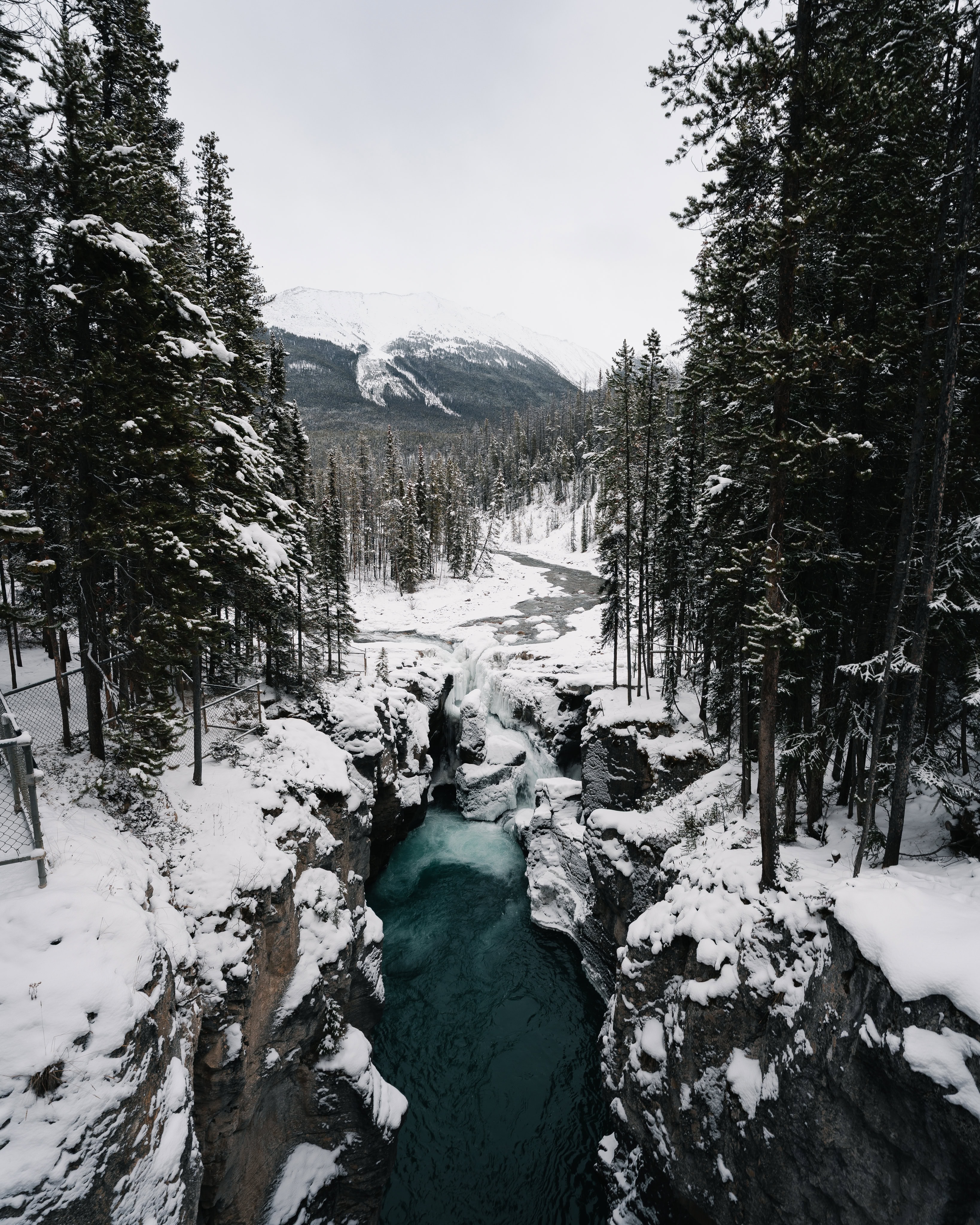
Mistaya Canyon
Another striking stop is Mistaya Canyon, where the Mistaya River has carved a narrow, dramatic gorge. The viewpoints and short hiking trails provide the perfect opportunity to explore the canyon.
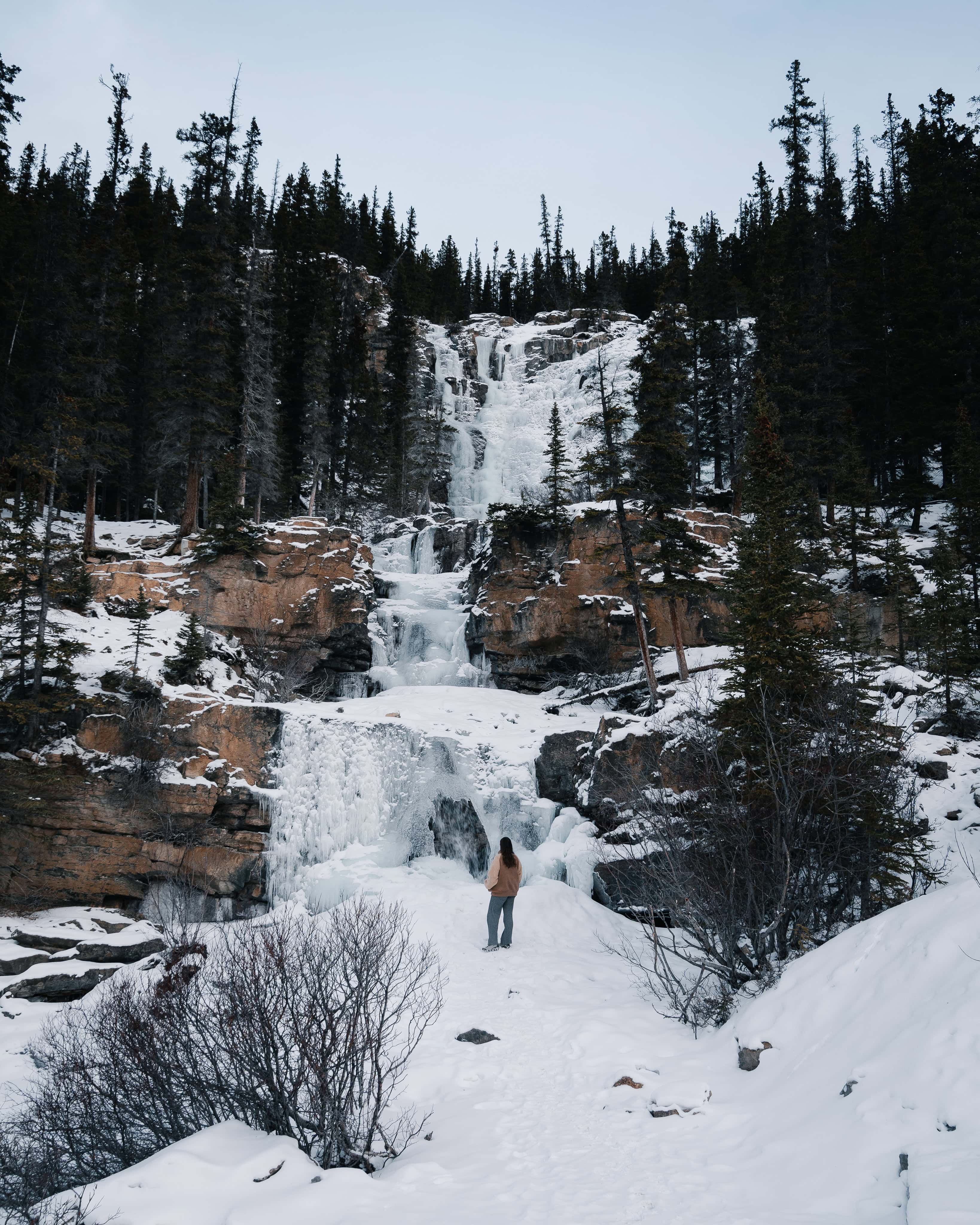
Tangle Creek & Stanley Falls
A little off the main route, small hiking trails lead to impressive waterfalls. The route along Beauty Creek to Stanley Falls is beautiful and less crowded than the more famous attractions.
Saskatchewan River Crossing
This junction with the David Thompson Highway is worth a quick stop. Several mighty river systems converge here and this is the only petrol station and rest area between Lake Louise and Jasper.
Columbia Icefield & Athabasca Glacier
The Columbia Icefield is the largest icefield in the Canadian Rockies. The Columbia Icefield Discovery Centre, located directly on the route, is the starting point for tours to the Athabasca Glacier and the spectacular ‘Glacier Skywalk’ viewing platform. These experiences are among the absolute highlights of a trip on the Parkway, offering spectacular insights into the glacial landscape.
Sunwapta Falls
North of the Columbia Icefield, you can access Sunwapta Falls, a powerful waterfall with several cascades. They are especially impressive in late spring due to the meltwater.
Athabasca Falls
Just before Jasper, there is a clearly signposted stop for Athabasca Falls. The waterfall pours into a narrow limestone gorge, offering spectacular photo opportunities.
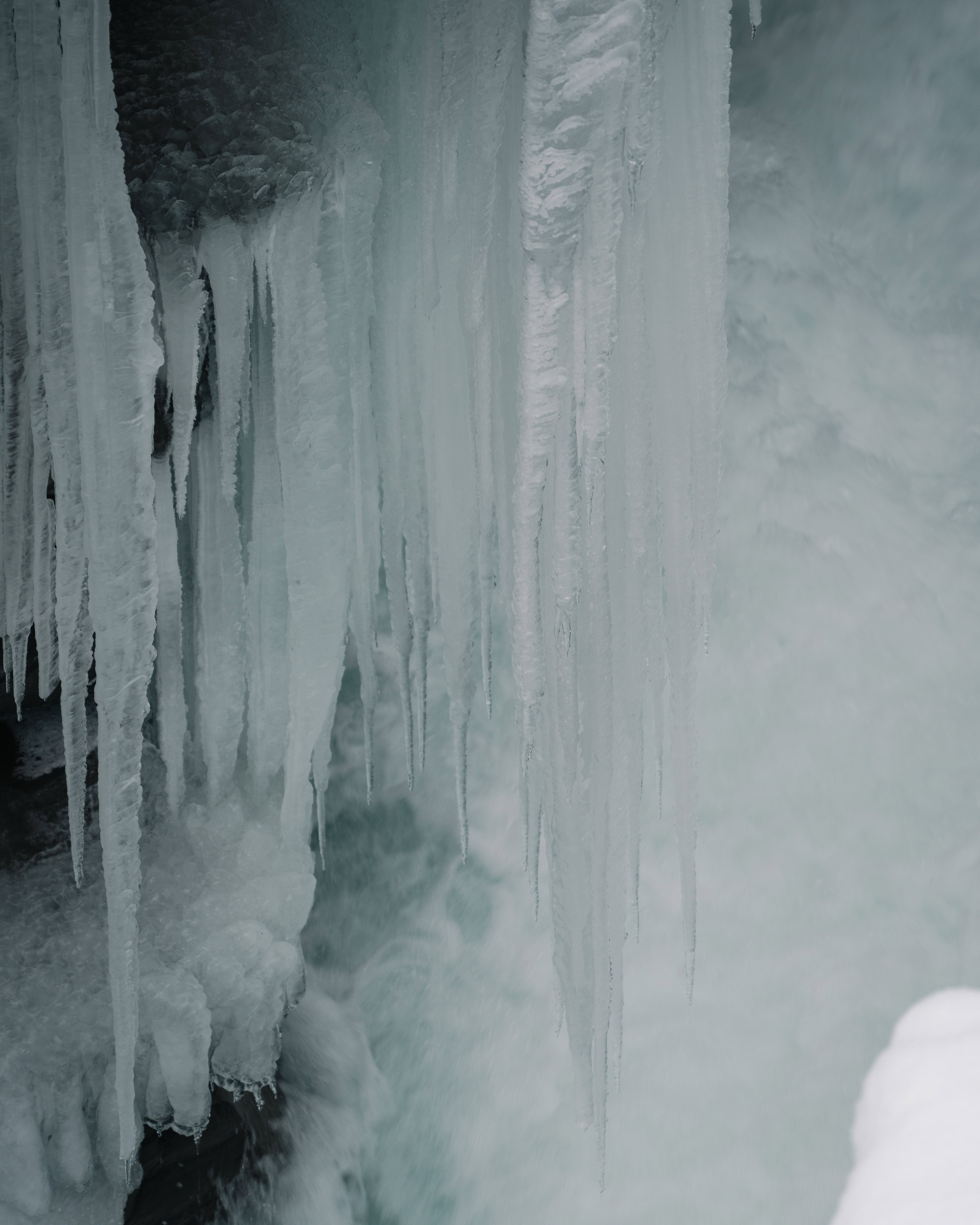
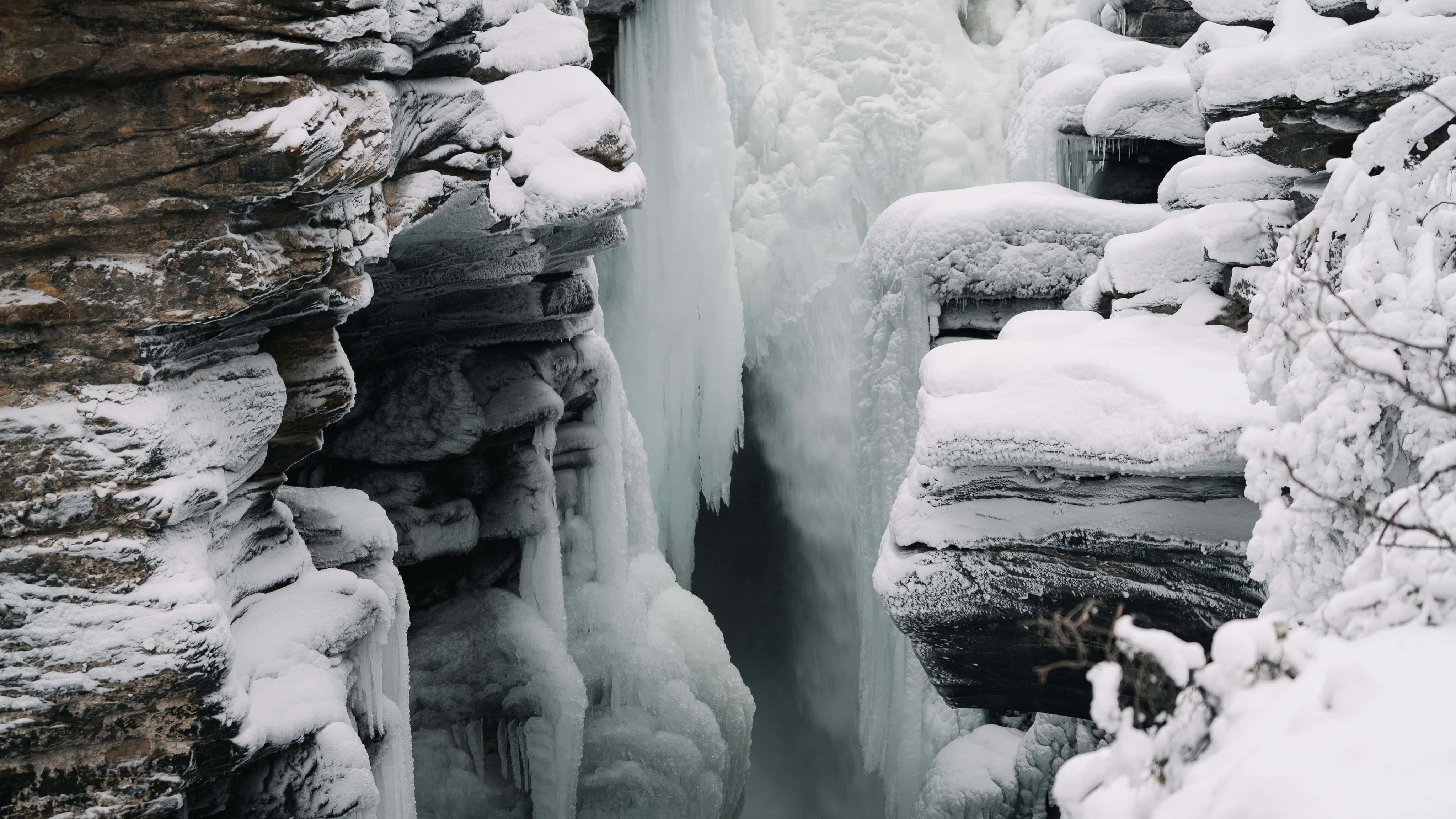
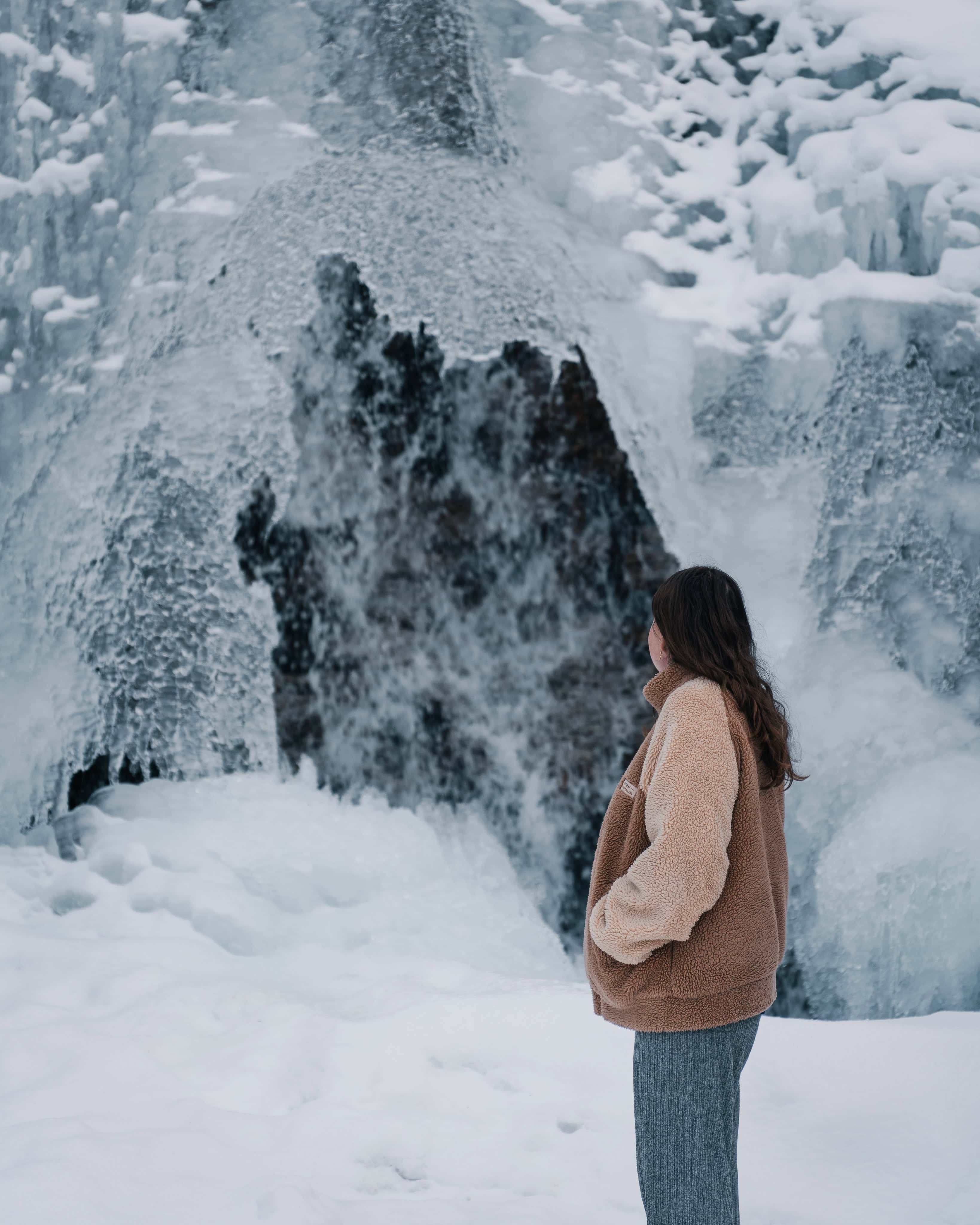
Weeping Wall
Just before the border to Jasper National Park, the steep rock faces of the Weeping Wall rise along the route. In spring, water flows over the rock, and in winter, it freezes into huge ice formations, creating a paradise for ice climbers.
Practical tips for your trip
- Allow plenty of time: The journey itself takes around 3–5 hours, but to make the most of your trip, you should allow a whole day — or even better, two days — so you can stop off at various points and go on short hikes along the way.
- National Park Pass: You will need a valid National Park Pass (Discovery Pass) to drive on the Icefields Parkway and access most of the viewpoints.
- Best time to travel: The season with the most stable road conditions and best weather is June to September, but snow or bad weather can occur at any time on this high mountain route.
- Wildlife: You may see wildlife along the route, including marmots, mountain goats, bears and eagles. Always remain cautious and respectful of nature.

The Icefields Parkway is much more than just a road – it offers an unforgettable experience of nature. You can experience some of the most impressive landscapes on earth along this single route: turquoise blue lakes, gigantic glaciers, thundering waterfalls and rugged mountain peaks. Whether you take this route as a day trip or a multi-day adventure, it should be included in any trip to Canada.